The original eclipse map for April 8th was wrong, and it is all because of an incorrect measurement of the Sun.
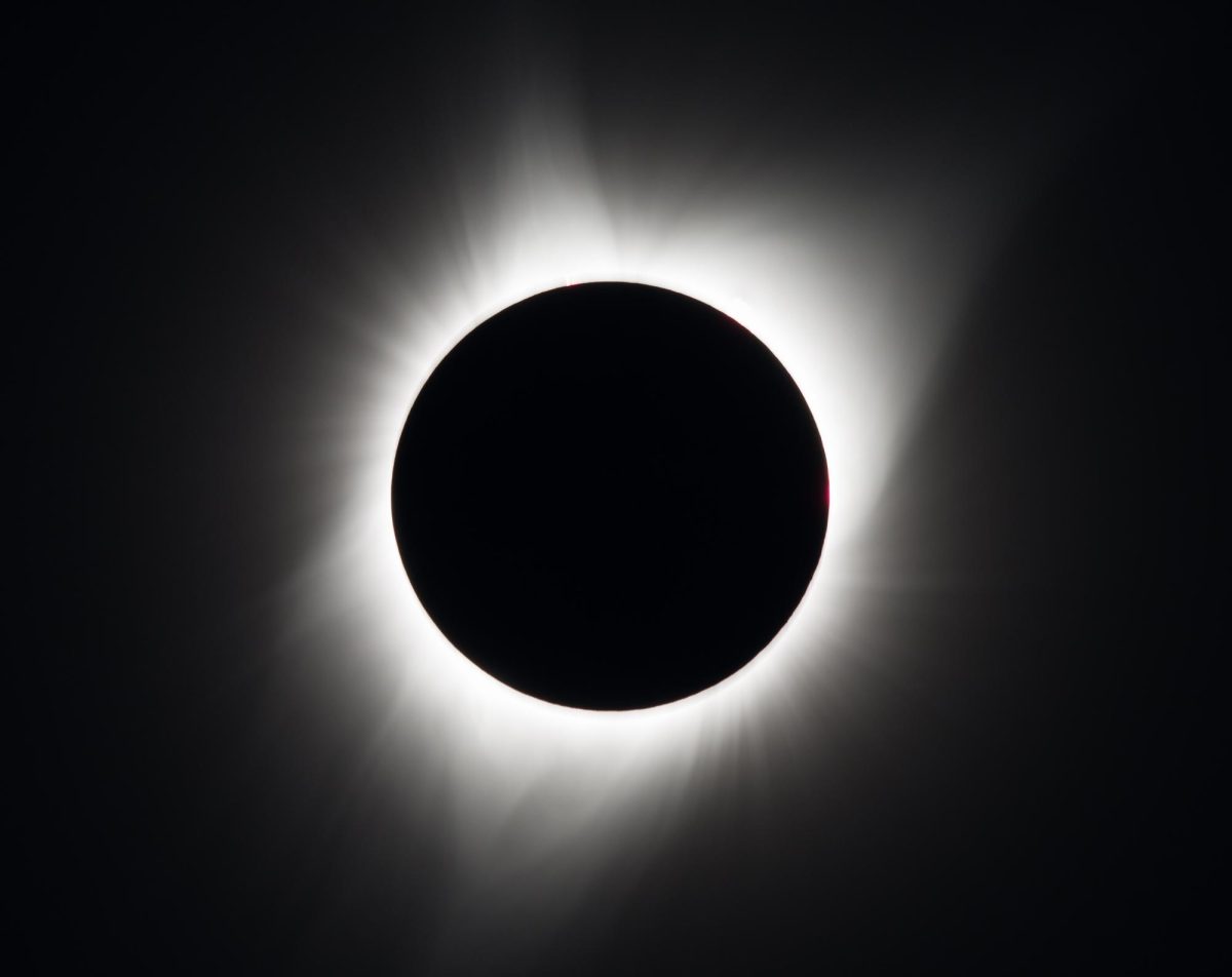
People all over Central New York gathered for the solar eclipse on April 8th to get a glimpse at totality. However, some might have had to slightly change their plans. If you were traveling to the center of the path of totality for your eclipse viewing, this news did not affect you, but those planning to watch the eclipse near the edge of the path had to check the updated maps to ensure the path still went through their area.
You may be wondering why the path of totality suddenly changed. This is because the way scientists have been measuring the size of the Sun has been slightly wrong since the late 1800s. Measurements in this field need to be precise and therefore are easy to get wrong. The larger the Sun, the smaller the size of the shadow and path of totality. Eclipse calculator Luca Quaglia told Forbes that the incorrect measurement had it just a bit too big, meaning the size of the shadow is smaller than projected. Scientists estimate there could be up to around a 1 mile difference in the size of the path of totality.
This left many who were planning to travel a short distance to watch the eclipse with a slightly longer trip. Local places that were no longer in the path of totality included the Fayetteville Target, the Clark Reservation State Park, and the Tanner Valley Golf Course. This also affected people who were now closer to the edge of the path than they were before. It was suggested to drive just a couple miles further to ensure that you can see a longer totality.
If you watched the solar eclipse, hopefully you ensured you would be in the path of totality. This was a once-in-a-lifetime opportunity, so hopefully you got the most out of it!


